
Monroe ZIP Directory Coverage
Official Census material associates five ZCTAs with Monroe city statistics. Other codes appear as Monroe mailing or service candidates, but the research did not capture a complete live USPS city-and-state result. The distinction is important. The rows below state exactly how each code was supported and avoid turning candidate codes into confirmed street-delivery areas.
| ZIP | Area Supported | Postal Office | Verification Note |
|---|---|---|---|
| 71201 | Monroe-associated Census ZCTA | Monroe postal service; station not captured | Verify each street with USPS |
| 71202 | Monroe-associated Census ZCTA | Station not captured | ZCTA is not the city line |
| 71203 | Monroe-associated Census ZCTA | Station not captured | Live USPS result not captured |
| 71209 | Monroe-associated Census ZCTA | Station not captured | Street or box coverage needs USPS |
| 71212 | Monroe-associated Census ZCTA | Station not captured | Exact delivery area needs USPS |
| 71207, 71210, 71211, 71213, 71217 | Monroe service or mailing candidates | Exact stations not confirmed | Do not assume citywide delivery |
No official source inspected established a ZIP split year, station list, or full neighborhood-to-code map. A ZIP code directory should preserve that gap. Run a live USPS search for an address before using any candidate in a resident query.
Verify Monroe ZIP Codes First
The USPS ZIP Code Lookup is the primary postal check. It offers city and state, address, and ZIP-to-city routes.
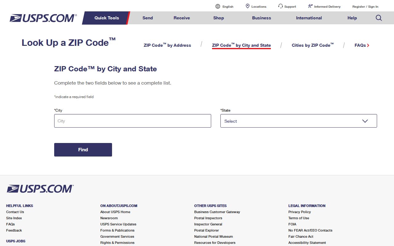
The form can confirm the recommended mailing city and code for a specific mailing line. It does not confirm a person, business, current occupant, municipal boundary, or property owner. Preserve the USPS spelling beside older directory spellings instead of silently replacing a historical name.
Run both directions when a code seems uncertain. Search the full address to obtain its recommended code, then search the code to see the accepted city names. If a box number or institution produces a different pattern, label the result by delivery type. A service list alone is not enough for a definitive Monroe ZIP code directory.
Monroe ZIPs and Census ZCTAs
The Census creates ZIP Code Tabulation Areas to report statistics. A ZCTA approximates groups of addresses that use a ZIP, but it is not an official delivery boundary. The Census ZCTA guidance explains that geography.
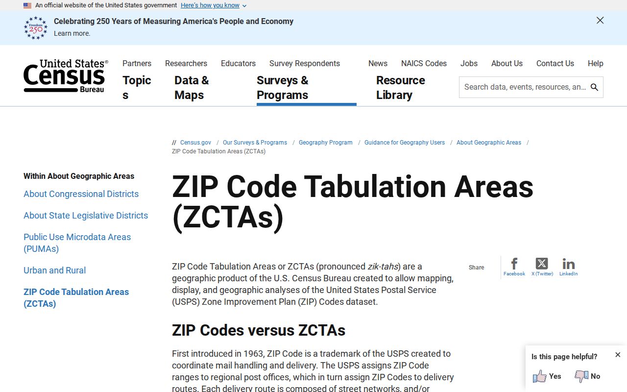
The screenshot is useful for reading Census tables without mistaking the shaded statistical area for the USPS network. ZCTAs are made for data analysis. USPS codes guide mail.
This difference explains why a Monroe-associated ZCTA can help frame population data yet fail to answer whether a given address is inside city limits. Parcel and city GIS records answer municipal questions. USPS answers mailing questions. Census answers statistical questions. Keep all three labels with the source date.
Monroe ZIP Population Context
Census QuickFacts for Monroe reports 47,702 people for the 2020 Census, 48,815 for 2010, and a 2024 population estimate of 46,622. It also reports 29.66 square miles of land and a 2020 density of 1,608.6 people per square mile.
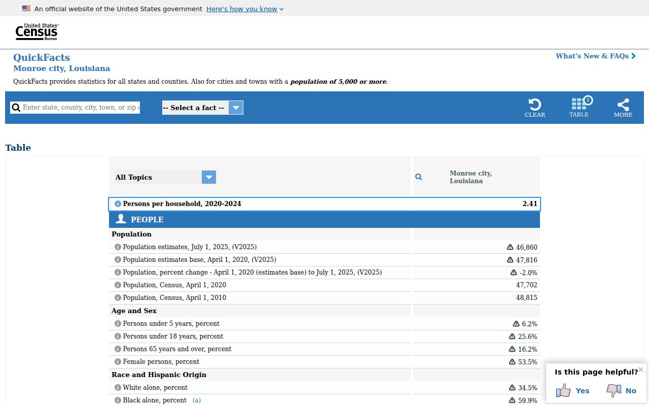
Those figures describe the city geography named in QuickFacts, not a total for all Monroe mailing codes or all of Ouachita Parish. Do not divide the city total among ZIPs without a source that reports each ZCTA. A year and geography label must stay beside every number.
Find Monroe Residents by ZIP
A ZIP code can narrow a name search, but it cannot create a list of everyone at an address. The Louisiana Voter Portal offers a name route with first name, last name, ZIP, and birth month and year. Its address route uses ZIP, street address, apartment or lot, and city. Protected voters and Address Confidentiality Program participants may not appear as expected.
- Verify the full mailing line with USPS, including apartment, lot, and recommended city.
- Use the code with a known name in the voter portal, or use the address route when the street is known.
- Check the Assessor/DataScout address and map result for parcel context; a ZIP-wide assessor filter was not confirmed.
- Compare the municipality and parish in an official GIS or property record before choosing a custodian.
- When the inquiry narrows to one road, continue with the Monroe directory by street.
A no-result response is not proof that no resident is tied to the area. Check spelling, unit, old address forms, city selection, parish, record date, and protected status. Search screens change, so record the route and retrieval date.
Monroe Voter ZIP Fields
The voter portal is the only verified local resident-record route in the research with visible ZIP inputs. Its name and address modes answer different questions. Neither mode should be described as a ZIP-wide household export.
| Portal Mode | ZIP-Related Inputs | Useful Result | Limit |
|---|---|---|---|
| Name lookup | First name, last name, ZIP, birth month/year | Registration, parish or district clue | Required fields not fully labeled |
| Address lookup | ZIP, address, apartment/lot, city | Address and election-area check | Protected records may be withheld |
| Assessor/DataScout | Address search confirmed; ZIP field not exposed | Parcel and assessment context | No confirmed ZIP-wide filter |
| City GIS | No ZIP control exposed in text crawl | Municipal map context | Live layers require inspection |
| USPS | City/state, address, or ZIP | Postal code and recommended city | Does not identify a resident |
Louisiana’s full voter-list request is a separate paid process with selection criteria, estimate, advance payment, and controlled delivery. The public portal is the better fit for a single lawful verification task.
Monroe ZIPs Versus City Limits
A mailing city is not a municipal boundary. Monroe and West Monroe share Ouachita Parish and face each other across the Ouachita River, yet city departments, permits, council records, and some courts remain distinct. A line that says “Monroe” can therefore guide mail without proving that the parcel lies inside the City of Monroe.
Resolve the mismatch in the right order: USPS for the mailing line, the Ouachita Assessor for parcel and assessment context, and city GIS or Planning for municipal location. A historic deed or directory may preserve an older spelling or route. Do not reject it solely because the modern mailing city differs. Compare the street, parcel, legal description, source date, and issuing body.
Boundary check. Treat every Monroe ZIP as a postal clue until a current parcel or city map confirms the jurisdiction.
Monroe Postal Terms Defined
Several postal terms look alike but answer different questions. Using the right term keeps a ZIP code directory from making false claims about residents or boundaries.
- ZIP code
- A USPS routing code used to help deliver mail.
- ZIP+4
- A basic ZIP plus four digits that narrow delivery to a smaller segment.
- P.O. Box ZIP
- A code or delivery pattern used for post-office boxes rather than ordinary street delivery.
- Unique ZIP
- A code assigned to a high-volume organization; none was confirmed for Monroe in the inspected sources.
- Carrier route
- A delivery path used by a postal carrier, not a city district.
- ZCTA
- A Census statistical approximation of ZIP geography, not a USPS boundary.
These labels should not be swapped. A ZIP+4 may narrow mail to part of a building, while a parcel map describes land. A carrier route can cross a civic area. A ZCTA supports Census statistics but does not establish delivery service.
Monroe Mailing Name Mismatches
USPS recommended city names should remain beside the spelling used in the record being checked. A deed may show a mailing address that differs from the parcel’s situs address. “Situs” means the physical location of the land. The owner mailing line may be a P.O. Box or another city, so it is not proof of occupancy.
Historic city directories and newspapers can add another variation. A Monroe and West Monroe directory may include both cities, while a later postal result uses a standardized form. Keep the original wording in the research note, add the current USPS version, and explain the date. This protects a good historical match from being discarded merely because the modern code changed.
Note: No official renumbering, annexation, or ZIP realignment year was found, so do not assign a date to a mismatch without a custodian source.
Check Monroe ZIP Evidence
For a disputed address, save the USPS response beside the Assessor situs line and the city-map result. A historical directory may retain an older street spelling, while a current mailing label follows postal normalization. Record both forms and the year rather than replacing one with the other. If the address is a P.O. Box, business route, campus, or unique delivery point, do not treat the postal code as a residential block. A live USPS check is the proper final step because the research did not confirm a complete current list of every Monroe mailing code.
Each source proves only its own field. USPS verifies postal routing. Census reports statistics for stated geography. The voter portal offers a limited registration or district clue. The assessor connects a parcel with assessment data. City GIS helps test a municipal location when its live layers are available. None proves every person at a Monroe address.
Keep a compact record: exact address as entered, returned ZIP and city, search date, portal, parcel or result identifier, and a note on what was not shown. If two sources conflict, do not force them to agree. Test unit formatting, street suffix, box use, municipality, and record date. A careful ZIP code directory makes the disagreement visible and points to the right keeper.